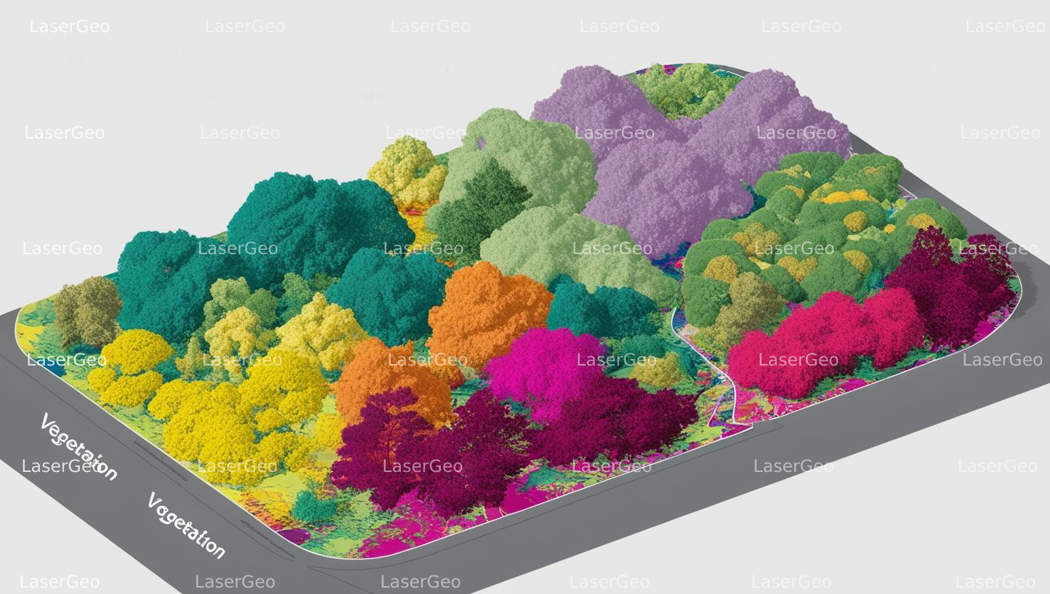
LiDAR has emerged as a game-changing tool for understanding vegetation. By emitting laser beams toward vegetation and capturing the time taken for the beams to bounce back, LiDAR provides highly accurate 3D models of vegetation distribution and structure. These models showcase details such as canopy height, density, and even undergrowth, offering a comprehensive view of natural landscapes.
This advanced technology plays a vital role in various fields. Its precise data facilitates effective forest management, enables accurate environmental assessments, supports sustainable land use planning, and aids in conserving biodiversity. With its ability to map and analyse vegetation in intricate detail, LiDAR has become an indispensable asset in monitoring and managing ecosystems.