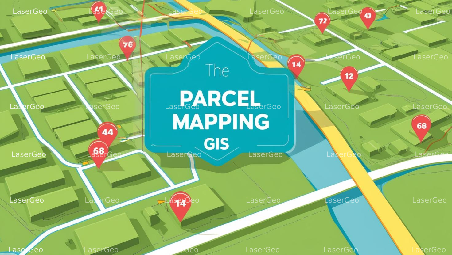
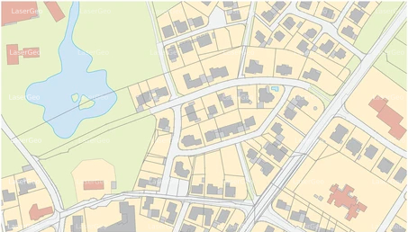
Parcel mapping services focus on the creation of precise digital representations of land parcels. These maps utilize polygons derived from base maps to visually convey property boundaries, ownership details, and associated information. This essential layer of data serves as the foundation for referencing multiple types of geographic and administrative information.
The base maps used in parcel mapping are typically cadastral maps, which detail individual plots within various subdivisions. These digital maps form a vital component in geographic information systems (GIS), providing a centralized framework for numerous applications.
Applications of Parcel Mapping Services
Parcel mapping plays a crucial role in a wide range of sectors by offering accurate and reliable spatial data. Key applications include:
- Land Administration and Property Registration: Facilitating efficient record-keeping and processing for urban and rural governance.
- Municipal Planning and Urban Development: Supporting better decision-making through advanced parcel mapping techniques, enabling governments to analyse and manage critical datasets effectively.
- Natural Disaster Management: Assisting rescue operations by identifying property boundaries and accessing vital information during emergencies such as floods.
Parcel mapping has proven to significantly enhance operational efficiency. For example, in some countries, the time required to process land registry requests has been reduced by up to 80%, streamlining services and lowering associated costs.
Advantages of Digital Parcel Mapping
One of the key benefits of parcel mapping is the transition from cumbersome paper-based methods to efficient digital systems. By adopting digital mapping, organizations can:
- Improve decision-making through accurate data visualization.
- Enhance collaboration by enabling seamless data sharing.
- Reduce costs and time associated with manual processes.
- Securely maintain and manage data in an organized environment.