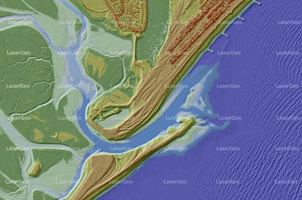
Flooding is a natural phenomenon that can impact almost any location, regardless of its proximity to rivers, lakes, or the coastline. While river and coastal flooding are common, heavy rainfall, blocked drainage systems, and nearby construction activities can also contribute to localized flooding, posing significant risks to both property and lives.
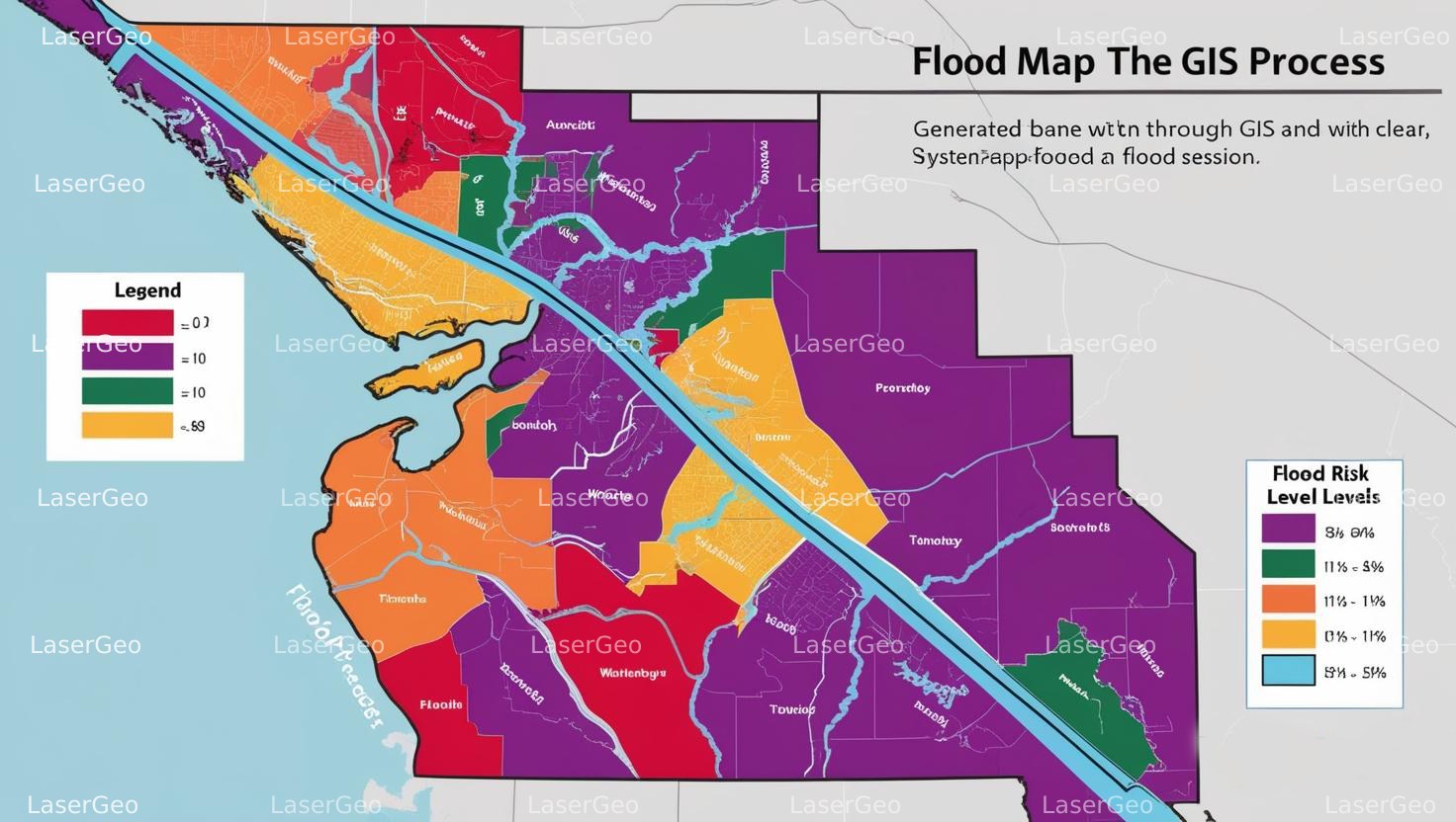
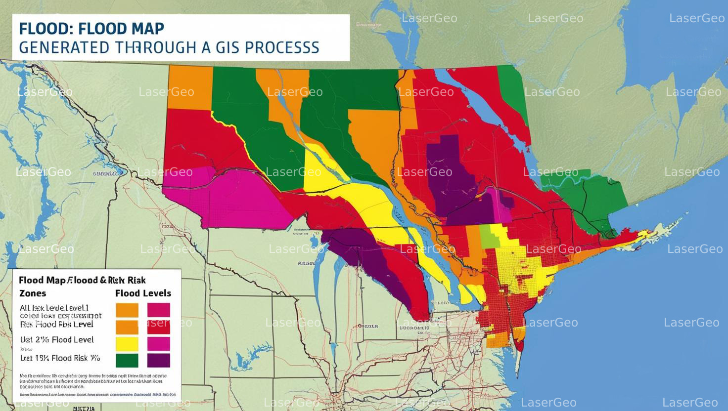
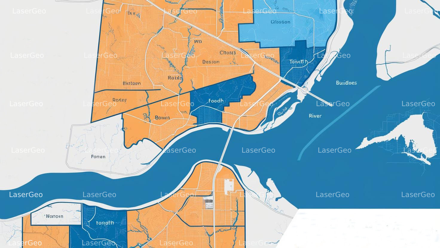
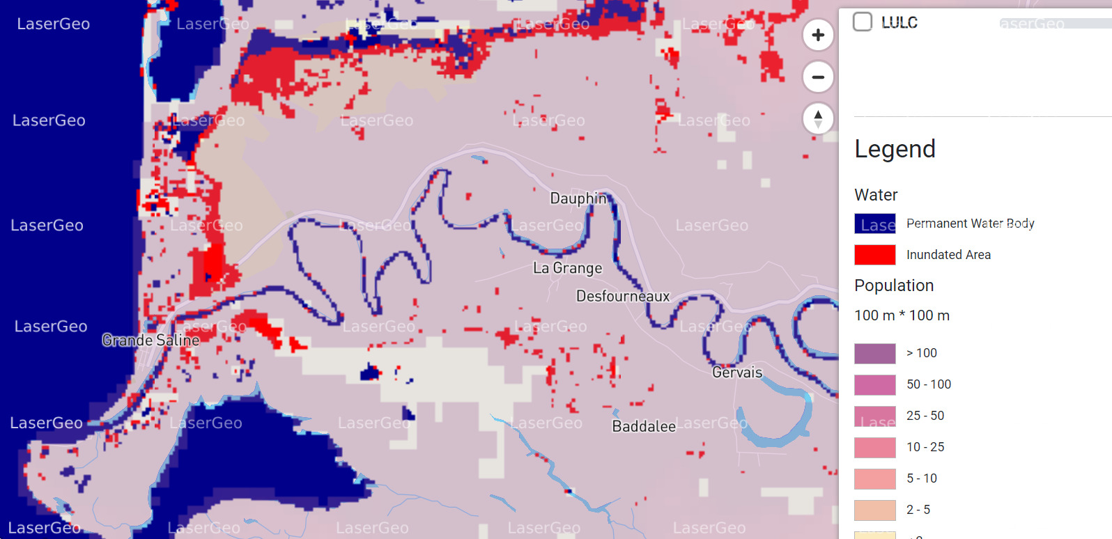
To address these challenges, flood maps have become essential tools in understanding and mitigating flood risks. These maps visually depict areas prone to flooding, offering critical insights that aid in planning and preparation efforts. By employing flood maps alongside comprehensive risk assessments, communities can regularly update their flood data, enabling better disaster readiness and response.
Practical Benefits of Flood Maps
Flood mapping goes beyond simply identifying at-risk areas. It serves multiple purposes, including:
• Risk Reduction: Helping urban planners and municipal authorities design strategies to lower flood vulnerability in high-risk areas.
• Insurance Insights: Assisting mortgage lenders in determining insurance requirements for properties situated in flood-prone zones.
• Informed Decision-Making: Providing residents and businesses with detailed information to make proactive choices about safeguarding their assets.
Enhancing Community Resilience with Flood Maps
The process of creating and updating flood maps equips communities with valuable tools to better understand their flood risks. This, in turn, supports efforts to improve infrastructure planning, optimize drainage systems, and establish emergency response protocols. The use of flood maps fosters a collaborative approach to reducing flood-related challenges, creating more resilient and prepared communities.