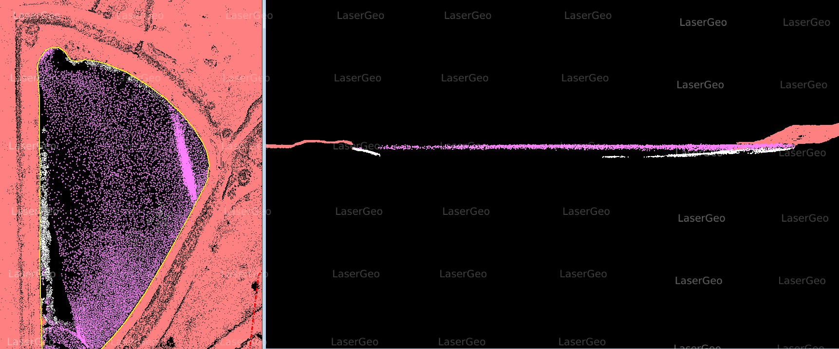
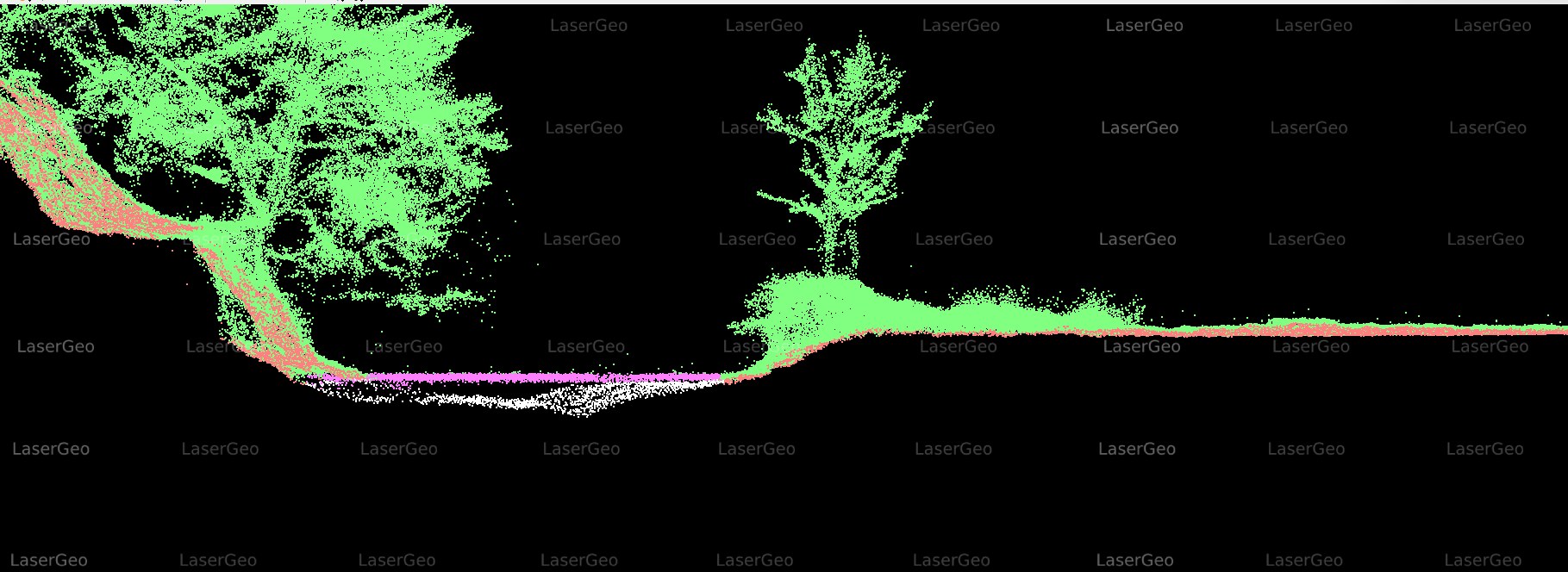
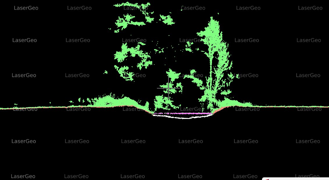
Bathymetric lidar is an innovative remote sensing technique designed to accurately map underwater landscapes. This technology functions by transmitting laser pulses toward the water’s surface. These pulses penetrate the water, bounce back after reaching the seabed or submerged objects, and their return time is recorded. The collected data is then processed to produce highly detailed maps depicting underwater terrain and features.
This advanced method has transformed the way we understand aquatic environments. By delivering precise depth measurements and capturing submerged topography, bathymetric lidar provides unmatched clarity and insights into underwater ecosystems. One of the key factors in maximizing the value of this data lies in its classification process. This involves organizing and analysing the collected information to make it suitable for various practical applications.
The Significance of Bathymetric Lidar Classification
To unlock the full potential of bathymetric lidar data, effective classification is essential. It enables the extraction of meaningful insights and facilitates its application across a range of fields, including:
- Marine Research: Understanding seabed composition and aquatic habitats.
- Coastal Management: Monitoring erosion, sediment transport, and shoreline changes.
- Navigation and Safety: Ensuring clear pathways for vessels by detecting underwater hazards.
- Infrastructure Planning: Supporting the development of bridges, pipelines, and offshore structures.
- Environmental Conservation: Mapping critical habitats for marine species and tracking changes over time.