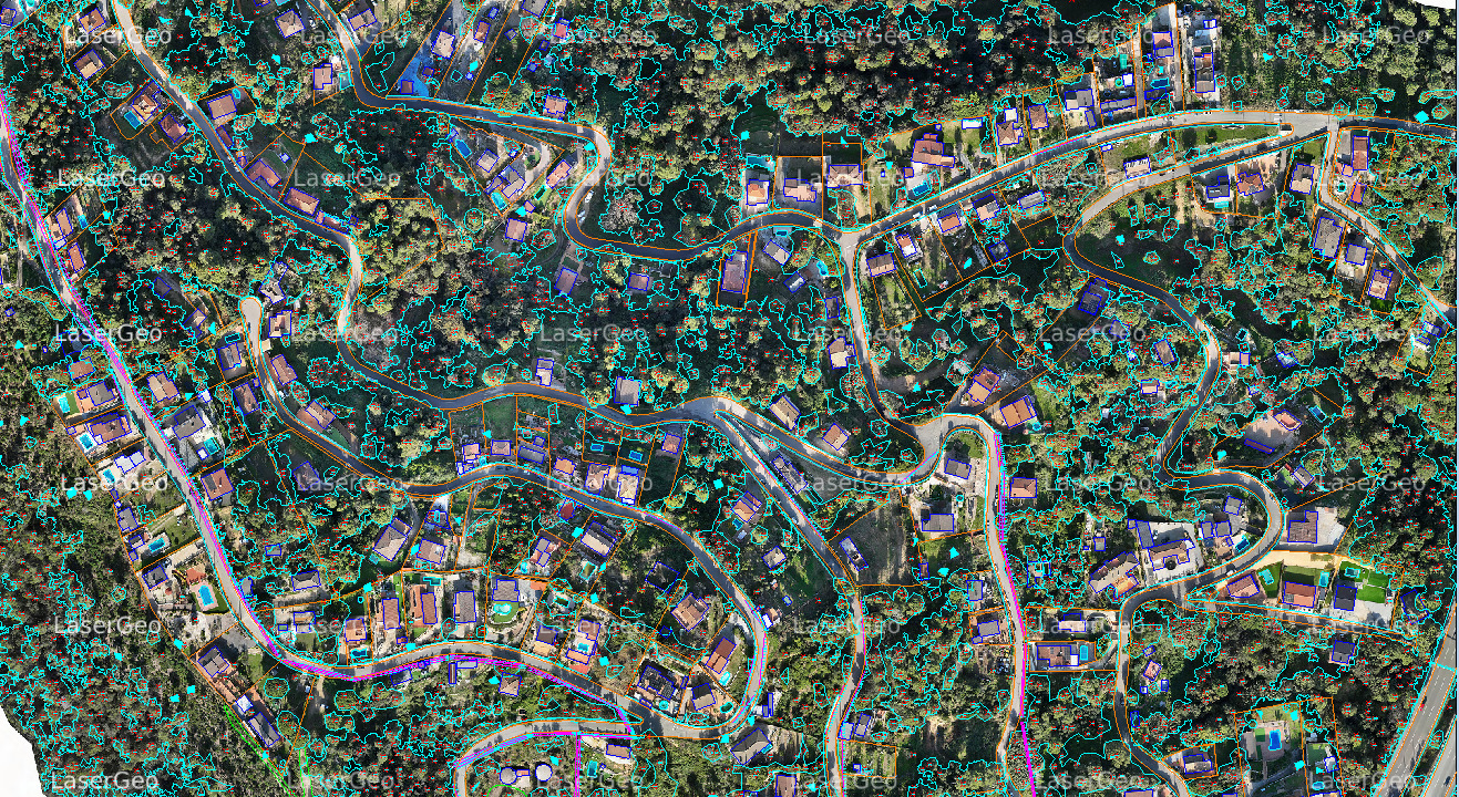
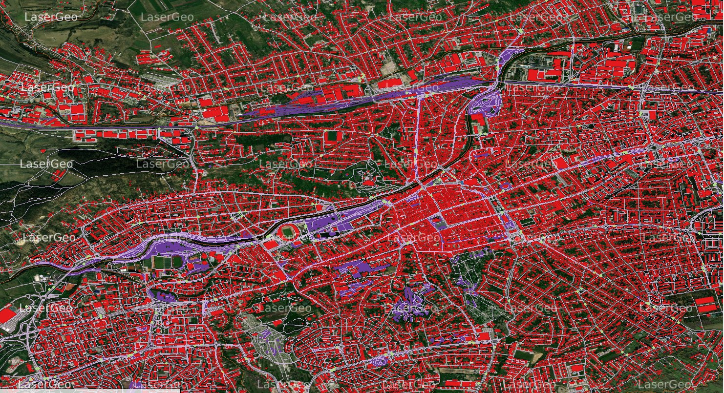
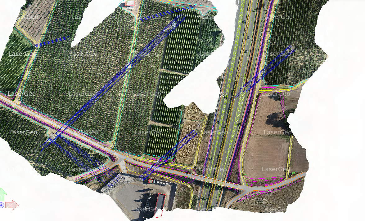
Planimetric mapping captures only the horizontal positions of features on the Earth’s surface, presenting geographic objects, natural elements, and man-made structures without incorporating elevation or topographic details. Unlike topographic maps, which include elevation data, planimetric maps focus purely on features such as roads, buildings, and water bodies. These elements are identified from aerial imagery and converted into precise map features using advanced photogrammetric surveying techniques.
Our Approach to Creating Accurate Planimetric Maps
To ensure the highest quality and precision in planimetric mapping, we adhere to the following practices:
- Maintaining Consistency: Ensuring that topology and geometry remain accurate and consistent across all mapped features.
- Applying Coding Standards: Incorporating coding where applicable to streamline processes and enhance usability.
- Regular Updates: Providing ongoing updates to ensure planimetric and GIS maps remain precise and up to date.
Services We Offer in Planimetric Mapping
We provide a comprehensive range of planimetric mapping services tailored to meet diverse project needs:
- Planimetric Mapping Across Multiple Scales: Accurate mapping at varying scales to suit project requirements.
- Altimetry Mapping: Capturing and processing data related to elevation for detailed mapping.
- Manual Contour Mapping: Developing precise contours for terrain and landscape visualization.
- Hydrological Mapping: Creating maps focused on water bodies and hydrological features.
- Road Corridor Mapping: Mapping transportation routes with a high degree of precision.
- Mining Mapping: Offering specialized mapping solutions for mining operations.
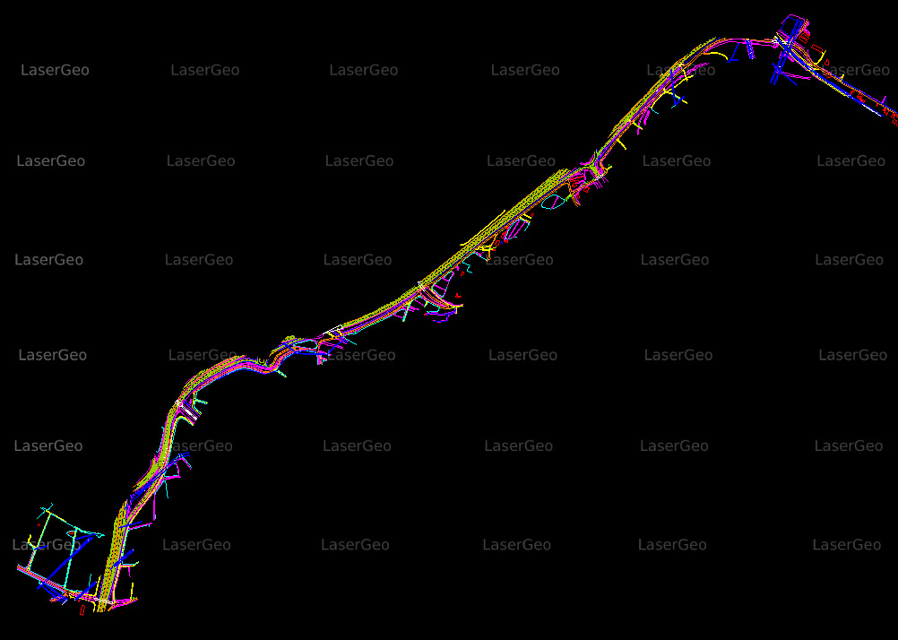
- Utility Mapping: Mapping utilities like pipelines, power lines, and related infrastructure.
Land Use Development Mapping: Supporting urban planning and development projects through detailed land-use maps.