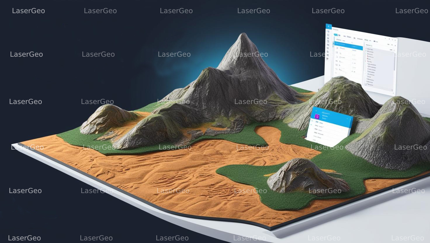
A Digital Elevation Model (DEM) is a 3D representation of terrain surfaces created using elevation data. It provides a simple yet effective method for visualizing terrain relief and distinguishes itself from more advanced digital surface models. Initially, the term “DEM” referred exclusively to raster-based grids, where elevation values are recorded at the intersection points of a regular grid pattern.
Refining DEMs for Accuracy
DEMs can sometimes include pixels with errors or inconsistencies. These need to be corrected to ensure accurate representations of terrain surfaces. Smoothing out irregularities like those found in water bodies—such as lakes—helps in producing more reliable DEMs, which are critical for generating orthorectified images with enhanced precision.
DEM Applications in Risk and Spatial Analysis
Topography plays a significant role in various forms of risk assessment, making DEMs indispensable tools for geospatial analysis. DEMs support a range of applications, including disaster risk management, watershed modeling, and urban planning. They can be generated using multiple techniques, such as:
- Digitizing contours from topographic maps.
- Employing differential GPS data collection.
- Using photogrammetry to convert aerial images into elevation data.
- Leveraging radar remote sensing methods like InSAR.
- Utilizing LiDAR for high-resolution terrain mapping.
DEM generation is based on several data inputs, including:
- Point Elevation Data: Measured ground elevation points for terrain modelling.
- Contour and Streamline Data: Capturing elevation changes along natural and artificial boundaries.