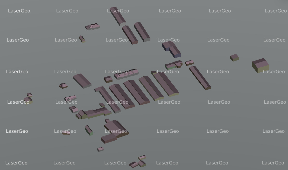
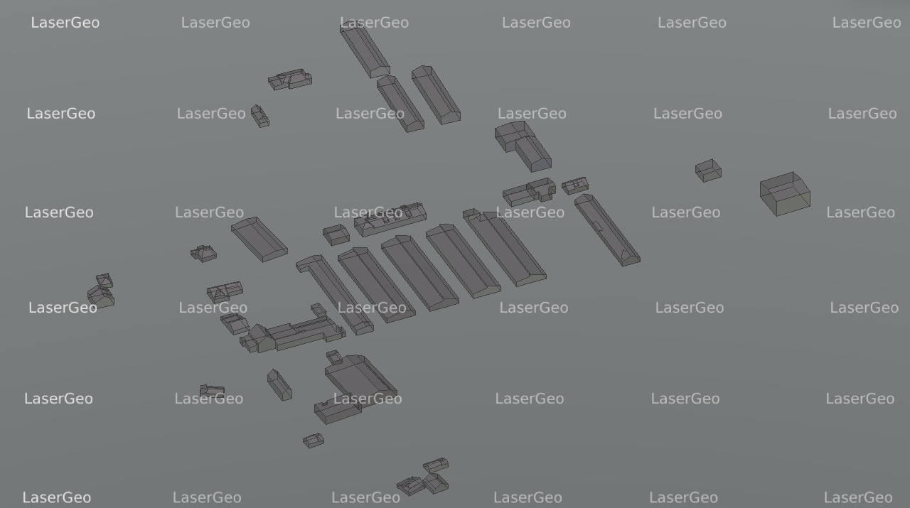
LiDAR has transformed the way we approach three-dimensional modelling. By utilizing laser-based measurements, this technology captures precise data to generate detailed 3D representations of natural and man-made features. From landscapes to structures, vegetation, and more, LiDAR offers a comprehensive approach to visualizing and understanding complex environments.
The versatility of LiDAR-based 3D modelling has made it a critical tool for numerous industries. It supports efficient urban planning by enabling accurate visualization of cityscapes. In construction, it enhances project accuracy by providing detailed topographical insights. Environmental scientists benefit from its ability to monitor ecosystems and track changes over time, while heritage preservationists rely on LiDAR for creating accurate digital replicas of historical sites. This innovative approach to 3D modelling helps tackle challenges across a wide spectrum of applications.