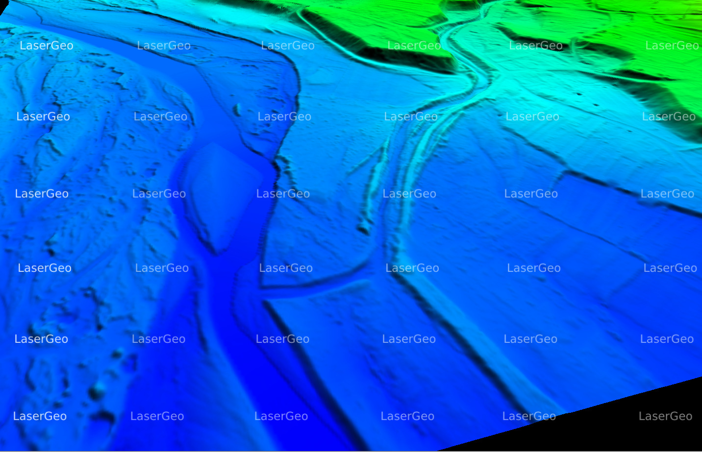
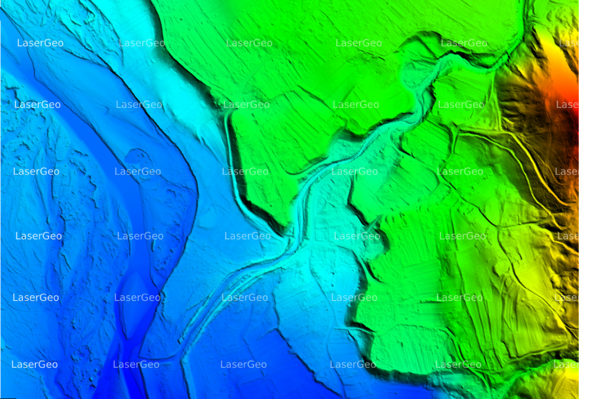
Hydro Classification & Execution
LiDAR has redefined the way we study and map water bodies. This cutting-edge technology operates by sending laser beams toward water surfaces and recording the time it takes for the pulses to return after interacting with underwater features. The collected data is processed to develop detailed 3D models of hydrological structures with exceptional precision.
LiDAR’s ability to provide comprehensive and accurate hydrological insights makes it indispensable for various applications. It aids in floodplain mapping, helping authorities identify flood-prone zones and plan mitigation measures. It supports watershed management by offering a deeper understanding of water flow and catchment areas. Additionally, it plays a crucial role in monitoring aquatic ecosystems, ensuring sustainable environmental practices, and facilitating the development of infrastructure related to water resources.