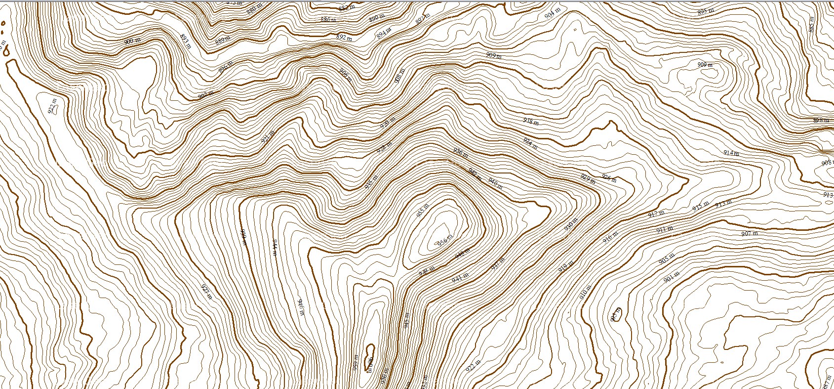
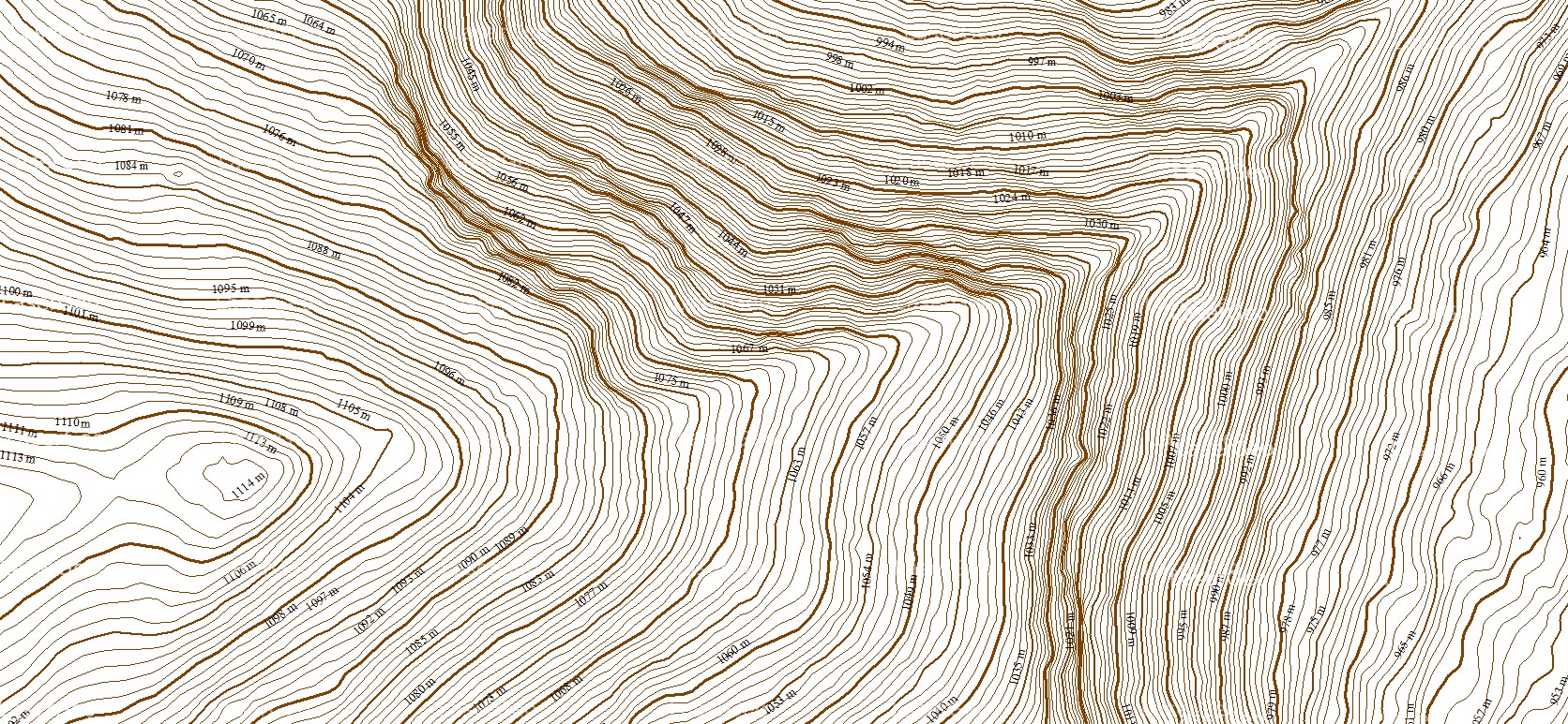
Contours are essential elements in cartography, represented as lines that connect points of identical elevation on a map. They bring landscapes to life by illustrating the variations and transitions in terrain elevation. These lines provide a detailed and intuitive understanding of the terrain’s shape, making it easier to analyse landforms and elevation changes.
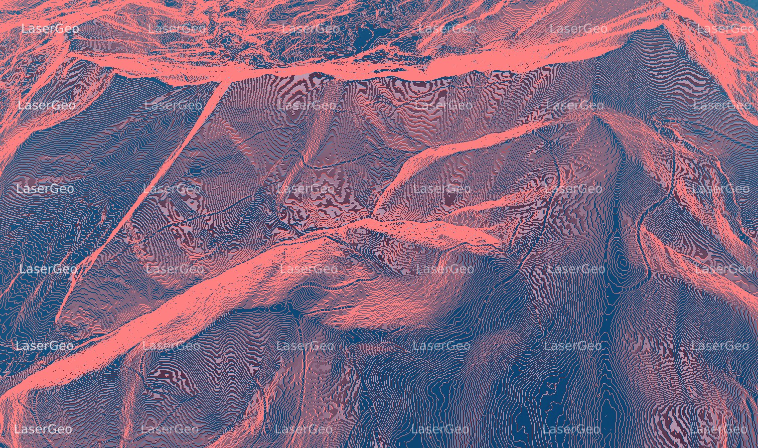
The integration of advanced LiDAR (Light Detection and Ranging) technology has brought a significant leap in the precision and efficiency of contour mapping. By emitting laser pulses and measuring the time it takes for them to return after striking the ground, LiDAR captures highly accurate elevation data. This technology enables the creation of intricate contour maps with exceptional detail.
LiDAR’s capabilities extend beyond generating new contour maps and it also plays a vital role in updating and enhancing existing ones. By incorporating fresh LiDAR data, contour maps can reflect the most recent and accurate terrain information, ensuring reliability for applications in various fields such as urban planning, environmental management, and infrastructure development.