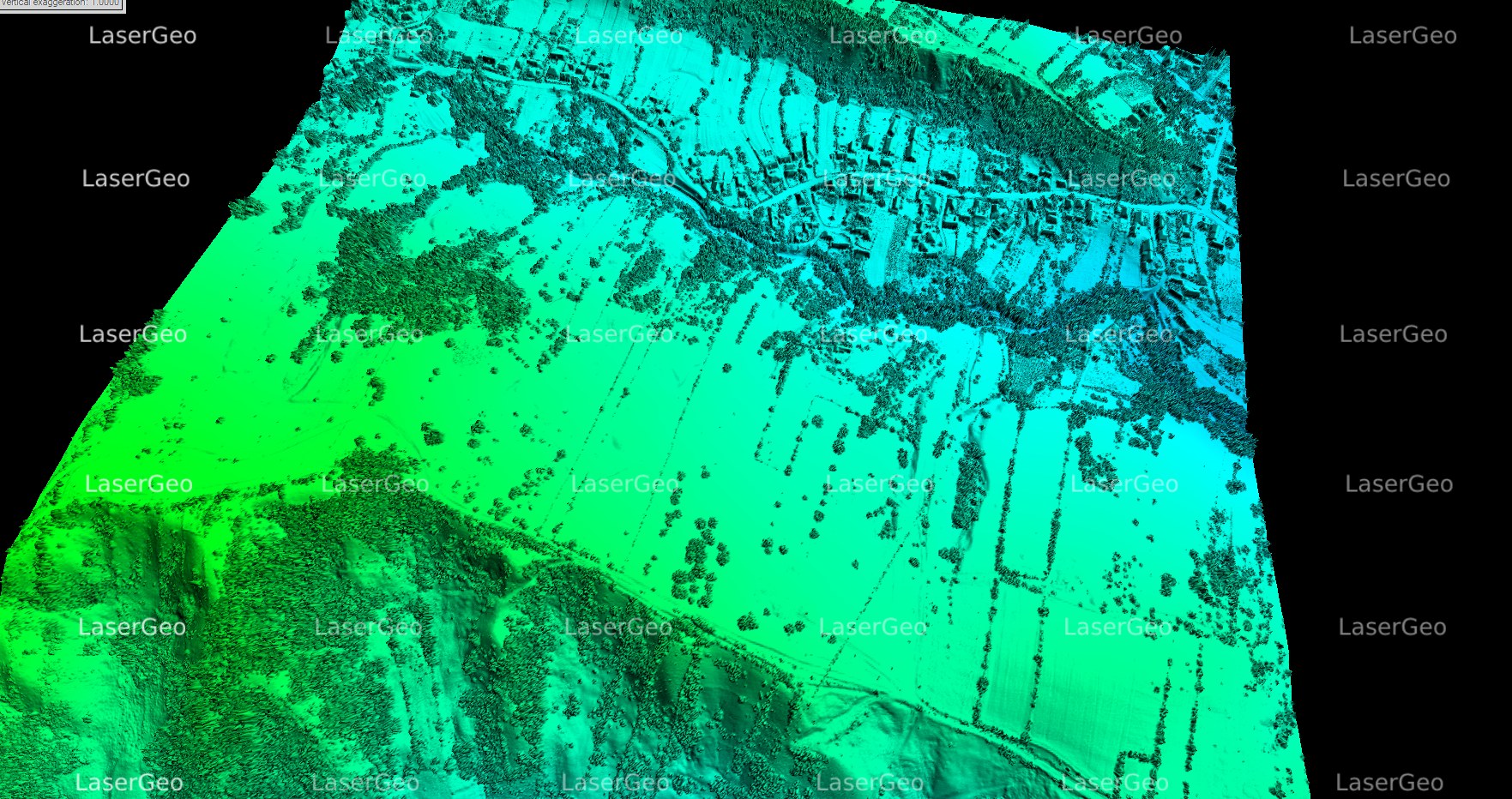
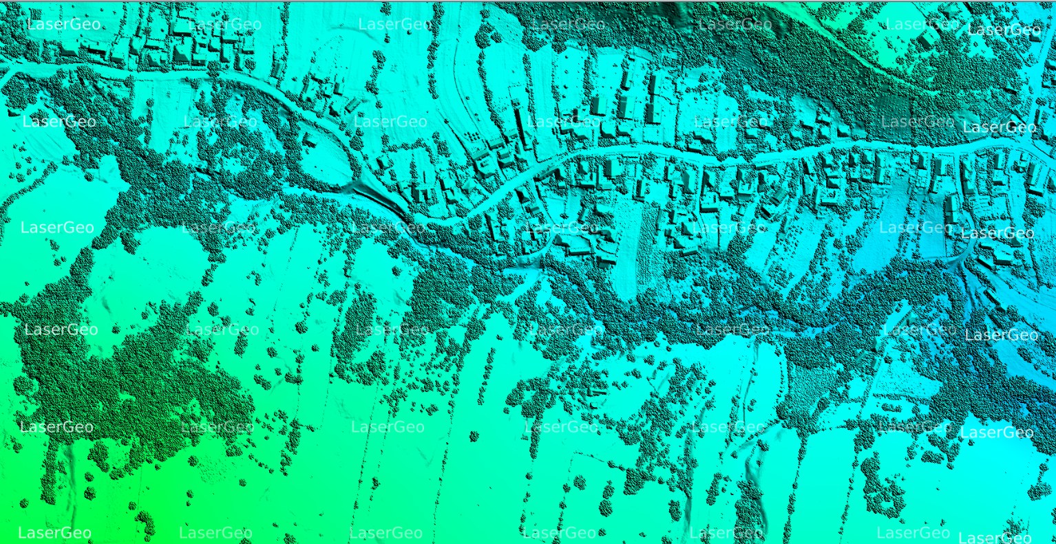
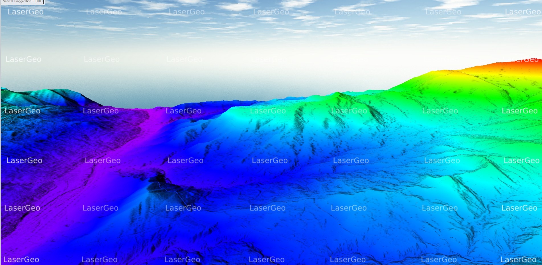
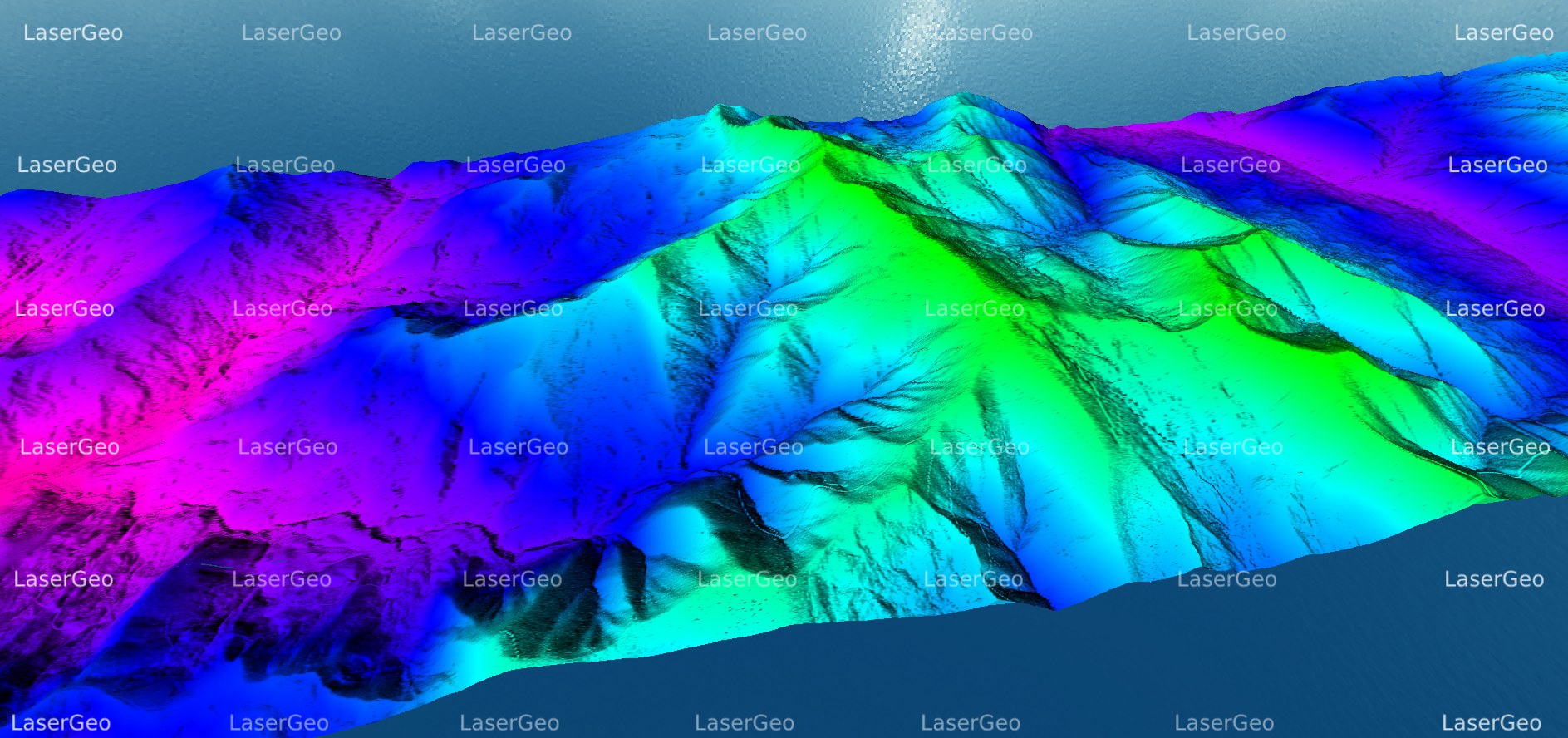
The advent of LiDAR technology is transforming the landscape of elevation data acquisition and analysis. By emitting laser pulses toward the Earth’s surface and measuring the duration it takes for these pulses to return, LiDAR produces remarkably precise and intricate three-dimensional representations of the terrain. Among the primary outputs generated from LiDAR data are Digital Terrain Models (DTMs) and Digital Surface Models (DSMs).
A Digital Terrain Model (DTM) illustrates the bare-earth surface, omitting any structures such as buildings and vegetation. It offers a clear and accurate portrayal of ground elevation, which is vital for numerous applications that necessitate reliable terrain information.
Conversely, a Digital Surface Model (DSM) encompasses all features present on the Earth’s surface, including buildings, trees, and other structures. This model is indispensable for applications that require a holistic understanding of the surface, integrating both natural and anthropogenic elements.